India has gotten a new map. The Centre has notified geographical boundaries of newly carved Union Territories (UTs) of Jammu and Kashmir and Ladakh. The Union Territory of Ladakh is spread in more area on the new Indian map while Jammu and Kashmir is a much smaller territory.
The government on Saturday released the maps of newly created Union Territories of Jammu and Kashmir, and Ladakh and the map of India depicting these UTs.
On the recommendation of the Parliament, the President Ram Nath Kovind effectively dismantled Article 370 of the Indian Constitution and gave assent to the Jammu and Kashmir Reorganisation Act, 2019.
Under the leadership of Prime Minister Narendra Modi and supervision of Union Home Minister Amit Shah, the erstwhile state of Jammu and Kashmir has been reorganised as the new Union Territory of Jammu and Kashmir and the new Union Territory of Ladakh on October 31, 2019, a statement of the Ministry of Home Affairs (MHA) said.
OLD AND NEW DEVELOPMENTS
The new Union Territory of Ladakh consists of Kargil and Leh - two districts.
The rest of the former state of Jammu and Kashmir is in the new Union Territory of Jammu and Kashmir.
In 1947, the erstwhile state of Jammu and Kashmir had the following 14 districts - Kathua, Jammu, Udhampur, Reasi, Anantnag, Baramulla, Poonch, Mirpur, Muzaffarabad, Leh and Ladakh, Gilgit, Gilgit Wazarat, Chilhas and Tribal Territory.
By 2019, the government of erstwhile state of Jammu and Kashmir had reorganised the areas of these 14 districts into 28 districts. The names of the new districts were - Kupwara, Bandipur, Ganderbal, Srinagar, Budgam, Pulwama, Shupian, Kulgam, Rajouri, Ramban, Doda, Kishtivar, Samba and Kargil.
Out of these, Kargil district was carved out from the area of Leh and Ladakh district.
The Leh district of the new UT of Ladakh has been defined in the Jammu and Kashmir Reorganisation (Removal of Difficulties) Second Order, 2019, issued by the President of India, to include the areas of the districts of Gilgit, Gilgit Wazarat, Chilhas and Tribal Territory of 1947, in addition to the remaining areas of Leh and Ladakh districts of 1947, after carving out the Kargil District.
The maps prepared by Survey General of India depicting the new UTs of Jammu and Kashmir, and Ladakh, as created on October 31, 2019, along with the map of India, are released, the statement said.
MAPS

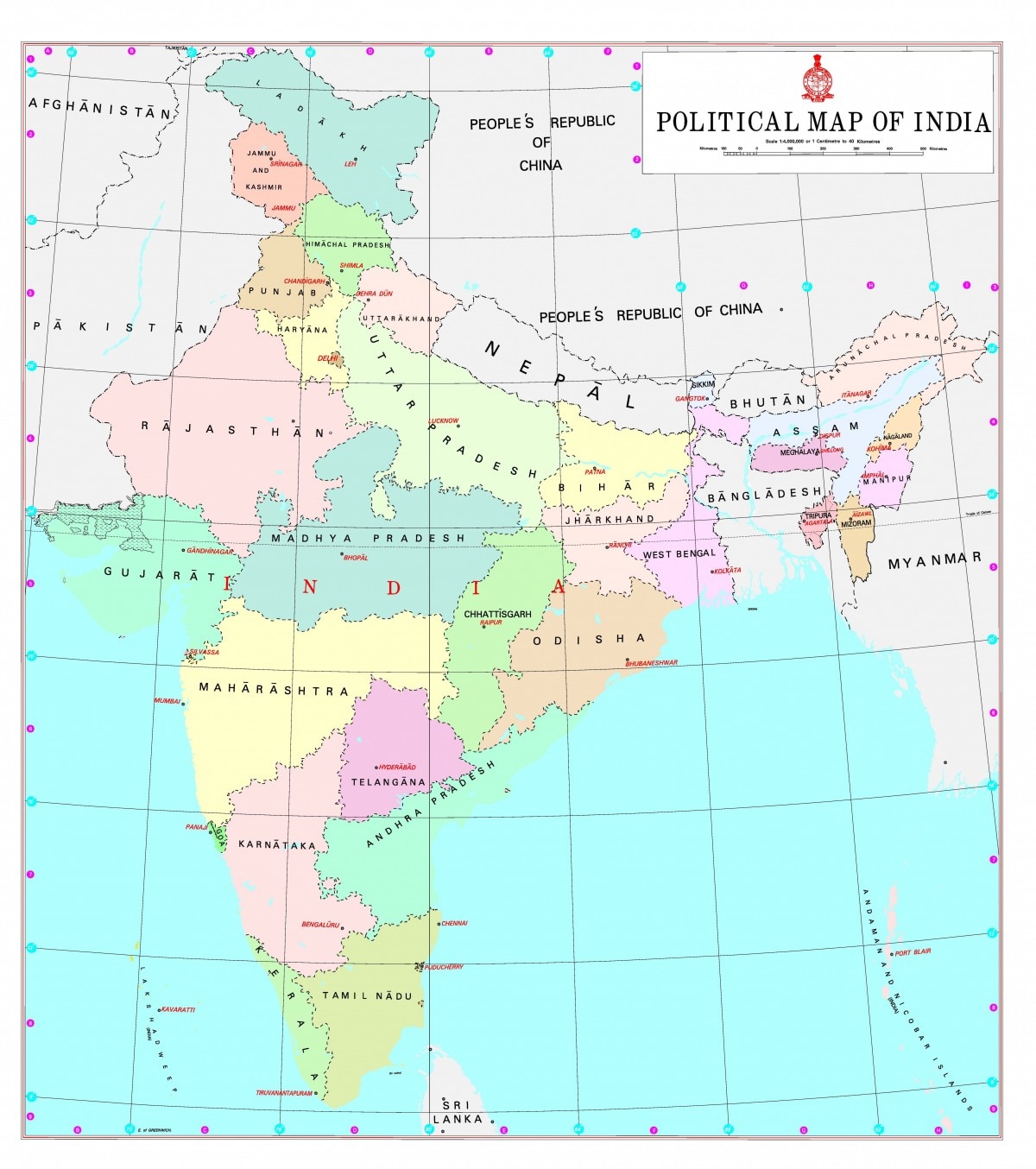
Political map of India
Detailed political map of India
UT Ladakh: Its administrative boundary
UT Jammu and Kashmir: Its administrative boundary
Map of UT of Jammu and Kashmir and UT of Ladakh
On Saturday, the Government of India released the maps of newly created Union Territories of Jammu and Kashmir, and Ladakh and the map of India depicting these UTs.
(With inputs from PTI)
(This story has not been edited by jkupdate staff and is auto-generated from a syndicated feed.)
Source Link: https://ift.tt/2C8cxeo


No comments:
Post a Comment